- 2204 Gravel Rd,
- Canadensis 18325
- (570) 839-1120
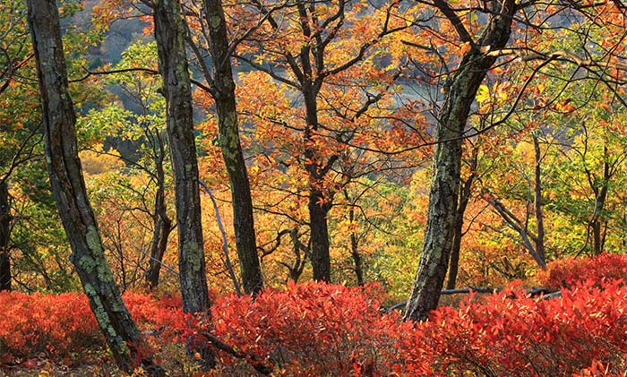
Mount Wismer at Gravel Preserve is a 90-acre preserve abutting the 170-acre Gravel Family Nature Preserve that includes hardwood forest, open fields, and a variety of wildflowers. “Gorgeous” is the mildest possible word for this wrap-around panorama.
No facilities or trash containers on the trail. Wear boots and bring a walking stick and water. Dress for the weather in layers.
Have a good read about Mount Wismer here.
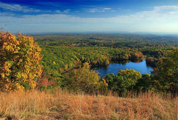
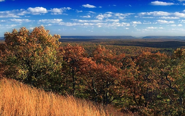
This out-and-back hike of about two miles is easier than the climbing route from the nearby Gravel Road trailhead — but it is nevertheless considered strenuous. The trail is often steep and rocky, and at one point there is a tricky descent over a drop of about eight feet. Footing is also often wet. A viewpoint at about 1,600 feet in elevation offers a panorama of the entire Brodhead watershed to the Delaware Water Gap, sweeping from Skytop to the northeast around to Camelback to the southwest.

Early morning mist often delineates the creeks that flow into the Brodhead. In the fall, the view of changing colors is spectacular. The trail begins at the metal gate and weaves through wetlands and blueberry fields, and leashed dogs are allowed to tag along.
One of the most outstanding vistas in Monroe County is a rugged hike from the Mount Wismer parking area or the steeper hike from the Gravel Family Nature Preserve. It will give you quite a workout, but the payoff is an unobstructed view of almost all points south and east, including Big Pocono, the Blue Mountain, and Delaware Water Gap. You can see Skytop’s West Mountain, Camelback, and Buck Hill Falls.

Trails are completed and marked. A gravel road brings you into the Preserve, going downhill, then climbs steeply. At the end is a narrow trail going up to the plateau where you can enjoy the view.
This 170-acre property is located off Gravel Road. Take Route 447 north from the light in Canadensis, go approximately 3 miles, and turn right onto Gravel Road. Continue for 0.2 miles to the entrance on your left. Pull into the parking area. The trail begins at the metal gate and travels through a field. Notice the swamp on the right, home to woodcock, and a variety of wildlife. The trail meanders through additional fields, into an old hardwood forest and then back to a stream feeding the wetland.
Here’s the Brodhead Watershed map of the trail!


