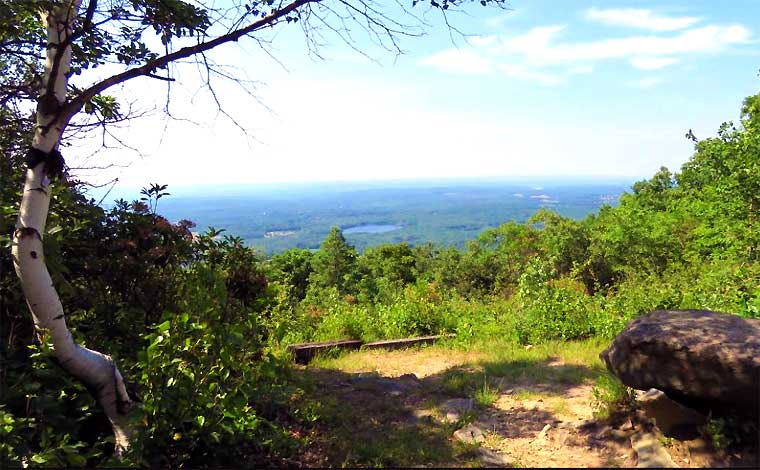
Steep but easy-to-follow trail leading up Mount Pisgah to a pair of fantastic Carbon County vistas. 1.4-mile out-and-back trail that’s considered a moderately challenging route.
Moderate

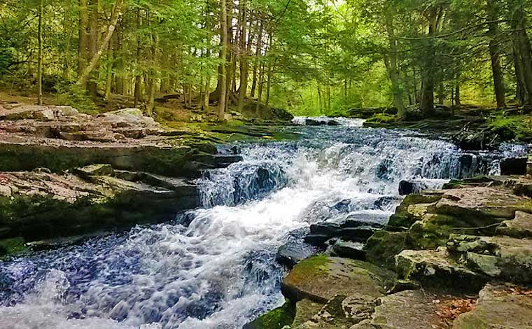
Gentle, really fun little trail along the stream. hopping from rock to rock. 2.7 miles, features a lake, good for all skill levels. Bring Fido, great for kids.
Moderately difficult 3-mile loop trail off the Ten Mile River. Best from late September through the end of October.
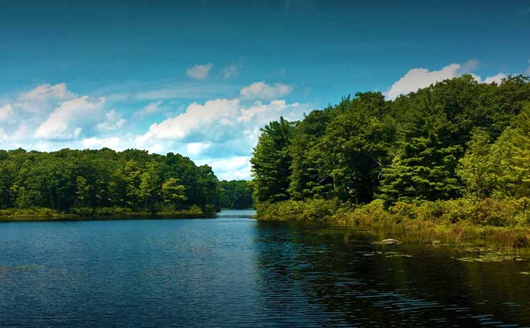
Bruce Lake Natural Area is part of the Delaware State Forest with 2,900 acres of land and miles of trails. Egypt Meadow lake and Bruce Lake.
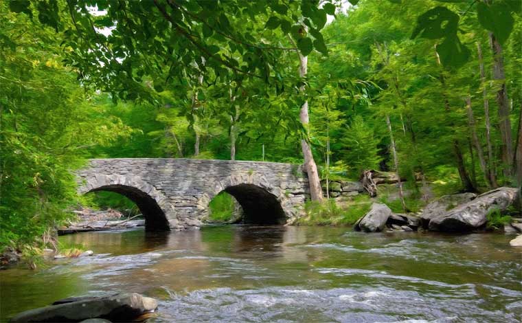
Leads to the original railroad crossings in Big Pocono State Park. Fantastic view. Bikes, horses, skis, and snowshoes are permitted. Bring your dog!
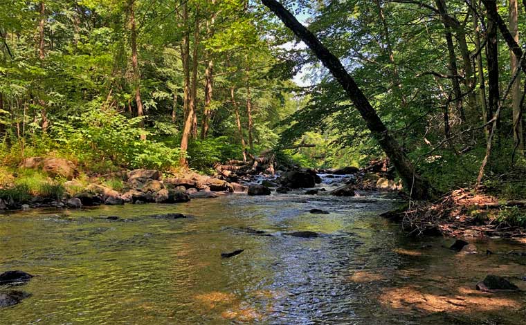
61.5-acres of a section of the Pocono Creek with Class A wild trout waters. Thickets of old-growth rhododendron, colonies of spring wildflowers, and wetland habitats.
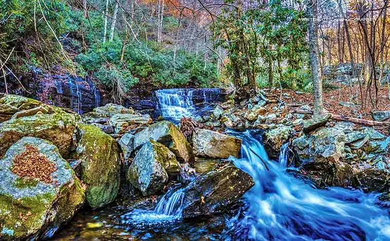
Devil’s Hole Trail is a 3.1 mile moderately trafficked loop trail that features beautiful wildflowers. The trail is primarily used for hiking and walking. Best used from April until October.
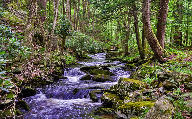
The preserve is home to 3.4 miles of trails. The single-track hiking trails form four different loops, which offer a challenging, yet rewarding trek along the ravine.
5-mile round trip hike along the Appalachian Trail starts in the town of Delaware Water Gap and brings you to the top of Mount Minsi for a view of the Delaware River.